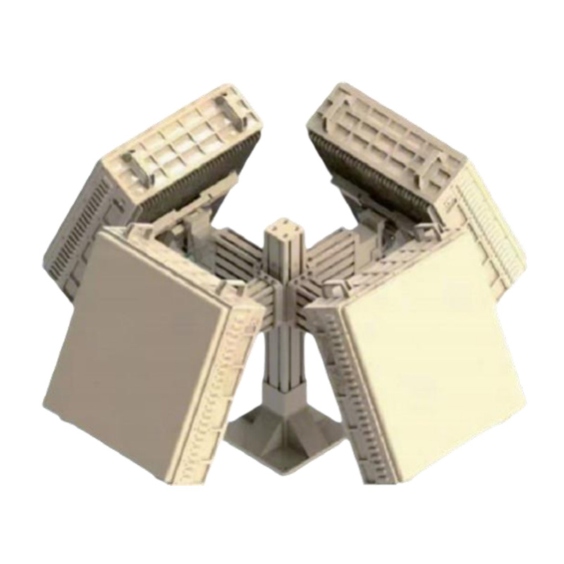
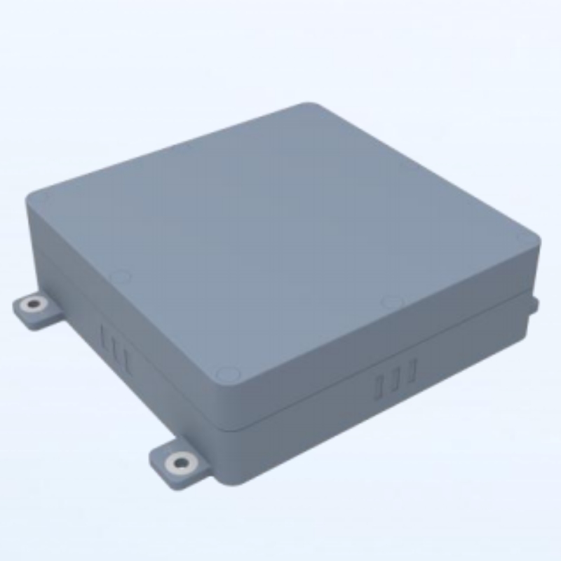
FOUR-ARRAY SECURITY RADAR GT-R201
High refresh rate
Long-distance precise detection
Large-batch tracking
360° Comprehensive Coverage
Four-face array design enables seamless hemispheric surveillance without mechanical rotation, ensuring continuous airspace monitoring.
Advanced Pulse Doppler Technology
Provides superior moving target detection and velocity measurement in challenging environments.
Dual-Mode Precision Tracking
Combines TWS and TAS capabilities for simultaneous tracking of multiple targets with high refresh rates.
Seamless System Integration
Delivers precise target coordinates for electro-optical systems and countermeasure activation.
| PERFORMANCE METRICS | DETAILED PARAMETERS |
| Operating Frequency Band | Ku band |
| Detection Range and Scanning Method | Azimuth:360。(four-sided aray,90。per array face); Elevation phase scanning range:≥60。(default coverage 0。-30。) |
| Detection Distance | Maximum detection distance: ≥5km(for Phantom drones); Minimum detection distance:≤250m; Minimum detection speed:≤1m/s(tracking mode) |
| Three-Coordinate Measurement Accuracy ( Root Mean Square Error) | Range accuracy: ≤ 5m; Azimuth accuracy: ≤ 0.3。; Elevation accuracy: ≤ 0.3。 |
| Data Refresh Rate | TWS search and track: 2s; TAStracking:1s |
| Number of Tracked Targets | TWS: ≥ 128 batches; TAS:≥ 5 batches |
| Radar Host Dimensions | ≤ 650 mm×400mm×100mm |
| Overall Power Consumption | s900W(including pan-tit)(single ray face) |
| Overall Weight | ≤ 35kg (per array face) |
| Interface | Gigabit Ethernet port |
Large-Scale Public Event Security
Provides uninterrupted 360° low-altitude monitoring for major public gatherings, stadium events, and political summits, ensuring comprehensive drone detection across entire venue perimeters.
Logistics Hub Airspace Management
Secures distribution centers and large warehouse complexes by monitoring approaching and departing delivery drones, preventing unauthorized UAV operations in restricted logistics airspace.
Nature Reserve & Wildlife Park Monitoring
Protects vast natural areas from intrusive drone activities through continuous 360° surveillance, detecting unauthorized UAV flights that disturb wildlife habitats.
Extended Perimeter Protection for Large Facilities
Delivers cost-effective wide-area coverage for campuses, industrial parks, and government compounds using single-station 360° monitoring capability.
Port and Harbor Surveillance
Monitors coastal approaches and port facilities for drone-based surveillance threats, providing early warning for maritime security operations.
Wind Farm Airspace Security
Protects wind turbine operations from drone interference while simultaneously monitoring for bird migration patterns to support avian protection measures.
Pipeline and Transmission Line Monitoring
Secures extended energy infrastructure corridors through continuous aerial surveillance, detecting potential drone-based sabotage attempts along remote pipeline routes.
Strategic Resource Site Protection
Safeguards mining operations and resource extraction sites in remote locations with persistent 360° aerial monitoring capabilities.
Disaster Response Coordination
Establishes temporary secure airspace for emergency operations across wide disaster areas, preventing unauthorized drone interference with rescue efforts.


Main Products
Our Main Products
At SkyPath we develop cutting-edge drones for every situation. Please browse our products.
Contact Us
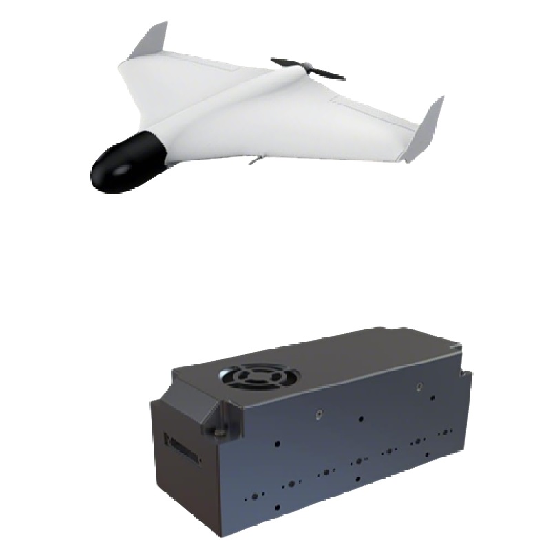
AUS70 Heavy-Duty Integrated C-RAS System
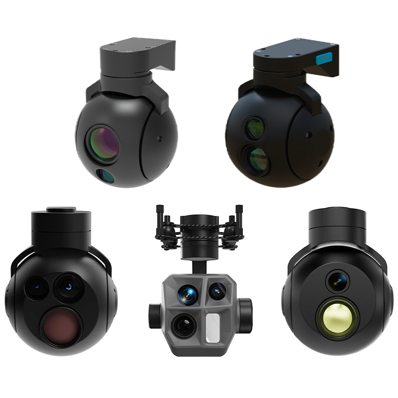
Anti-Drone Jammer Seeker
Anti-Radiation Seeker
AD SERIES
Anti-jamming antenna AJ410
Anti-jamming antenna AJ440
News & Announcements
Recent Articles
 17th November 2025
 15th October 2025
 15th October 2025
 15th October 2025