
OPTOELECTRONIC TRACKING DEVICE GT-P200
igh Load Capacity
Wide Detection Spectrum
Superior Tracking Performance
Multi-Spectral Detection
Combines visible light and cooled thermal imaging for reliable 24/7 target detection and identification in all weather conditions.
Precision Tracking & Ranging
Utilizes a laser rangefinder for accurate distance measurement and stable, high-precision tracking of unauthorized UAVs.
Intelligent Auto-Identification
Employs advanced algorithms to automatically detect, classify, and alert on drone threats, reducing operator workload.
Real-Time Coordinate Output
Calculates and outputs real-time target longitude and latitude for seamless integration with command and control or countermeasure systems.
| PERFORMANCE METRICS | DETAILED PARAMETERS |
| Refrigerated thermal imaging camera | Detector: Refrigerated mercury cadmium tellurium(MCT)infrared focal plane; Resolution:640×5124;NETD:better than 20mK; lens focal length:90-1100mm,12x continuous zoom lens;Start time:≤8min(at room temperature); Electric zoom, manual/automatic focusing |
| Visblelight camera | 1/1.8″star level CMOS sensor with a target surface; Resolution: 2688×15203; Illumination: Color: 0.002 Lux; Black white: 0.0002Lux; Focal length:12.5-775mm high-definition electric zoom lens; Support photoelectric / electronic dual transmission |
| Laser ranging | Laser wavelength:1570nm; measuring range: 100m-3000m; Accuracy: ±2m; eye safe laser |
| Servo turntable | Horizontal range:N×360°; Pitch range:-90°to+90°, with soft limit function, programmable; Rotation speed: horizontal 0.01°~120°/s, pitch 0.01°~90°/s, maximum horizontal speed≥200°/s; acceleration: horizontal 120°/s², pitch 120°/s². It has intelligent sensing speed change function and supports adaptive lens focal length speed function; Positioning accuracy: better than 0.005° |
| Ilnteligent functions | Embedded intelligent analysis module,16Tops computing power processor, supporting multi-target detection, automatic recognition of targets such as people, cars, ships, drones, birds, etc. |
| Tracking function | Support manual and automatic tracking, support radar linkage; Support visible light/infrared video switching and tracking; Built in multiple tracking algorithms,target recognition automatically captures and tracks,and automatically magnifies during the tracking process; Support target eagle eye display and adjustable position. Support target recognition during tracking process; Resistant to temporary occlusion,etc. |
| Tracking Accuracy | Tracking stability accuracy ≤0.5mrad. |
| External interface | One way RJ45; One way power supply AC22V to DC48V power interface |
| Environmental adaptability | Working temperature: -40℃~60℃, storage temperature: -45℃~+70℃; Humidity: 95%RH3. Lightning surge protection: power supply 4000V, communication frequency signal 2000V4; salt spray protection: pH value 6.5-7.2, continuous salt spray test for 96 hours, still able to work normally; Vibration:meets the environmental requirements for highway truck transportation in GJB150A.16; Protection level: IP67. |
| Volume weight | Dimensions:565mm×H880mm Total weight:≤120kg |
Wildlife Reserve & Ecological Monitoring
Provides 24/7 automated surveillance against poaching drones and unauthorized intrusion in protected natural reserves using thermal imaging and automatic tracking capabilities.
Coastal & Maritime Border Surveillance
Enables continuous monitoring of coastal waters and maritime borders, detecting suspicious drone activities and providing precise coordinates for interdiction operations.
Critical Infrastructure Inspection
Supports remote inspection of power transmission lines, pipeline networks, and communication towers with automated drone detection and precise location tracking.
Disaster Area Monitoring
Delivers real-time situational awareness in disaster zones by automatically identifying and tracking unauthorized drones that may interfere with rescue operations.
Industrial Complex Security
Provides layered protection for large industrial facilities with continuous perimeter monitoring and automated threat assessment for unauthorized UAV activities.
Mobile Security Operations
Integrates with mobile command vehicles for temporary security perimeters during VIP movements and special events, offering instant drone detection and tracking.
Research & Environmental Protection
Supports scientific research by monitoring wildlife and ecosystem changes while preventing disturbance from unauthorized drone operations in sensitive areas.

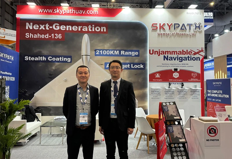
Main Products
Our Main Products
At SkyPath we develop cutting-edge drones for every situation. Please browse our products.
Contact Us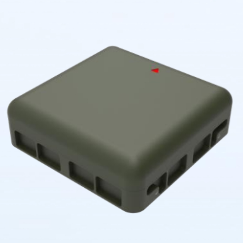
Anti-jamming antenna AJ410
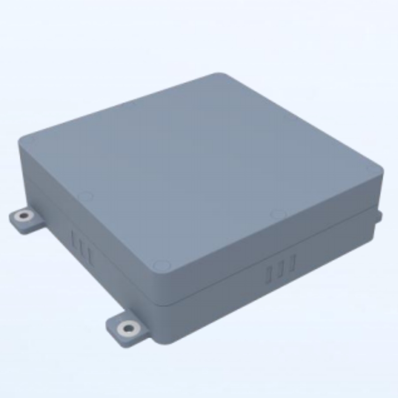
Anti-jamming antenna AJ440
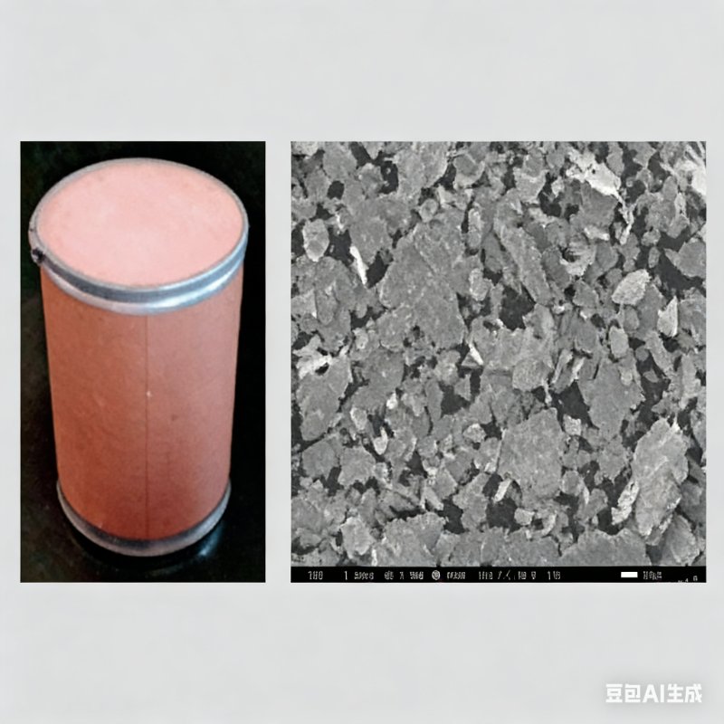
Radar Absorbing Agents

Anti-Drone Capture Net GW10T
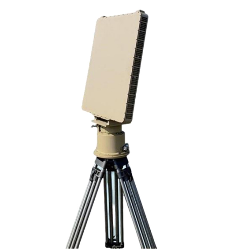
SINGLESIDED ARRAY RADAR GT-R100
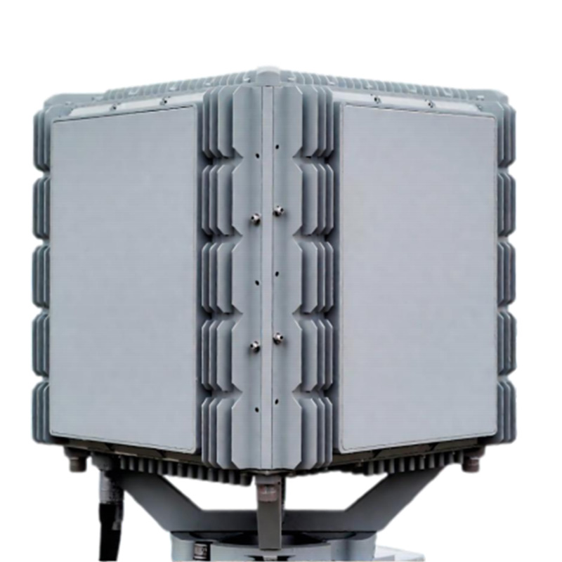
FOUR SIDEDARRAY SECURITY RADAR GT-R200
News & Announcements
Recent Articles
 17th November 2025
 15th October 2025
 15th October 2025
 15th October 2025