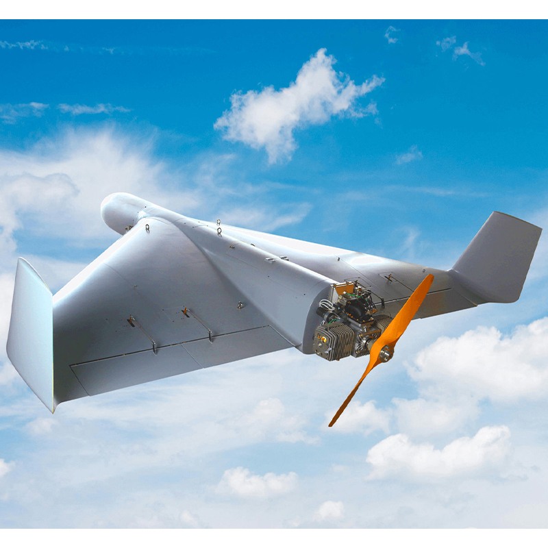
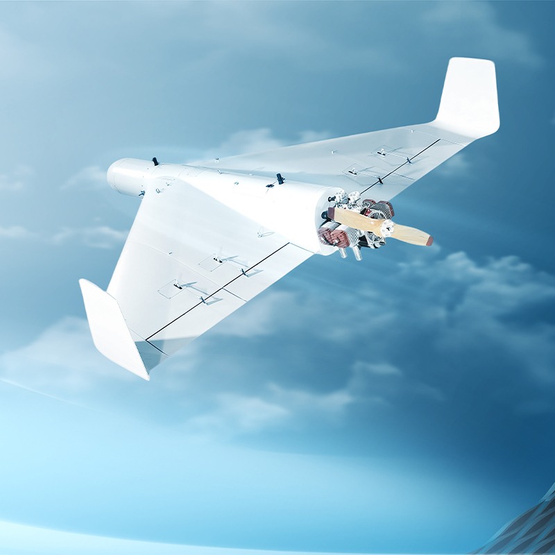
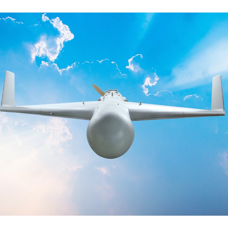
PHANTOM REAPER X1500
Compact, Tailless Delta-wing
Long Range Capability
Dual-channel Thermal Imaging
Advanced Anti-Jamming & Navigation
Equipped with quad-antenna GPS/Beidou anti-jamming module and inertial navigation for sustained operation in GPS-denied environments.
Intelligent Target Recognition & Tracking
Features dual-channel thermal/optical AI seeker with deep learning for all-weather, day/night target identification and precision strike capability against moving targets.
Multi-Role Mission Flexibility
Configurable for strike, ISR, or battle damage assessment with optional parachute system, supporting extended 14-hour endurance and 50kg payload capacity.
Rapid Deployment & Operational Reliability
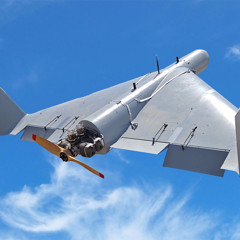
Rocket-assisted launch capability with low-maintenance design enables quick deployment, backed by aviation-grade composites and proven system reliability.
Secure Long-Range Data Link
50km military-grade image and data transmission ensures real-time operational control and mission flexibility.
Available Models
Phantom Reaper X500 (PRX500)
Phantom Reaper X1500 (PRX1500)
| Model number | Phantom Reaper X1500 |
| Length | 2.85 m |
| Wingspan | 2.6 m |
| Height | 0.608 m |
| Powerplant | Piston Engine |
| Launch & Recovery | Rocket-assisted launch / Parachute recovery |
| Max Takeoff Weight | 200 kg |
| Payload Capacity | 50 kg |
| Endurance | 14 h |
| Cruise Speed | 50 m/s |
| Max Level Flight Speed | 62 m/s |
| Rate of Climb | 5 m/s |
| Max Service Ceiling | 5000 m |
| Wind Resistance | Level 7 |
| System Readiness Time | 60 min |
| Typical Mission Profile After takeoff, the Phantom Reaper UAV ascends to a safe altitude before transitioning to level flight. It then climbs to a cruising altitude of 1,000 meters, maintaining a speed of 180 km/h. As it nears the target area, the UAV enters its attack range, initiating a glide and dive while adjusting its course to precisely align with the target waypoint before executing the strike. The standard flight mission table defines each stage of flight, detailing function names, engine stall selection, altitude, speed, distance, and duration. It also allows for direct estimation of fuel consumption for the entire mission profile. By analyzing a given speed sequence, it calculates the corresponding climb gradient and rate at various altitudes, providing a data table and curve. The UAV’s maximum climb rate at different altitudes determines its overall climbing capability, while the point where the climb rate approaches zero represents its theoretical maximum altitude. | 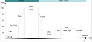 |
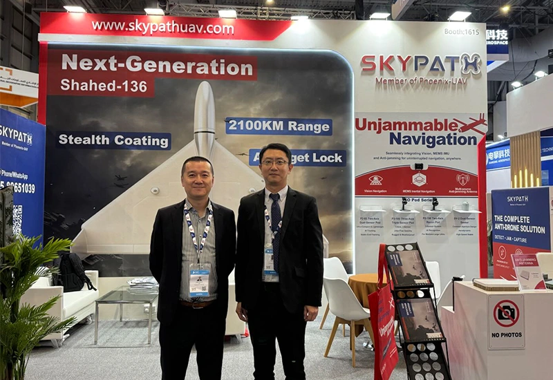
- BrochureBrochure

Main Products
Our Main Products
At SkyPath we develop cutting-edge drones for every situation. Please browse our products.
Contact Us
Anti-jamming antenna AJ410
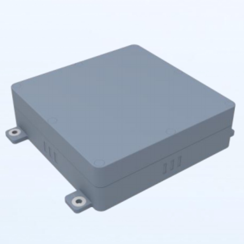
Anti-jamming antenna AJ440
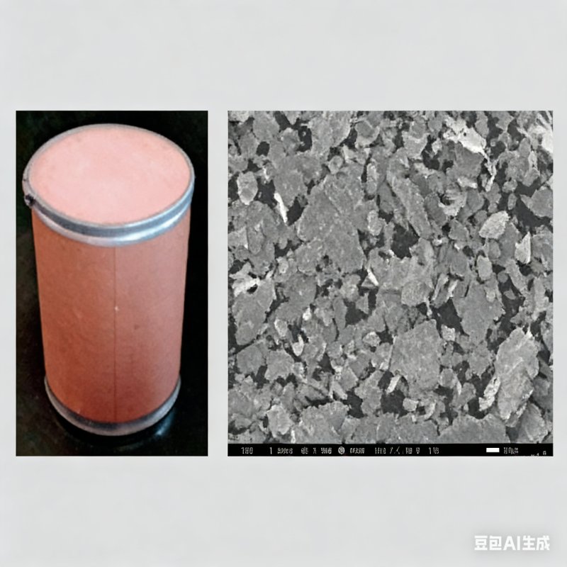
Radar Absorbing Agents

Anti-Drone Capture Net GW10T
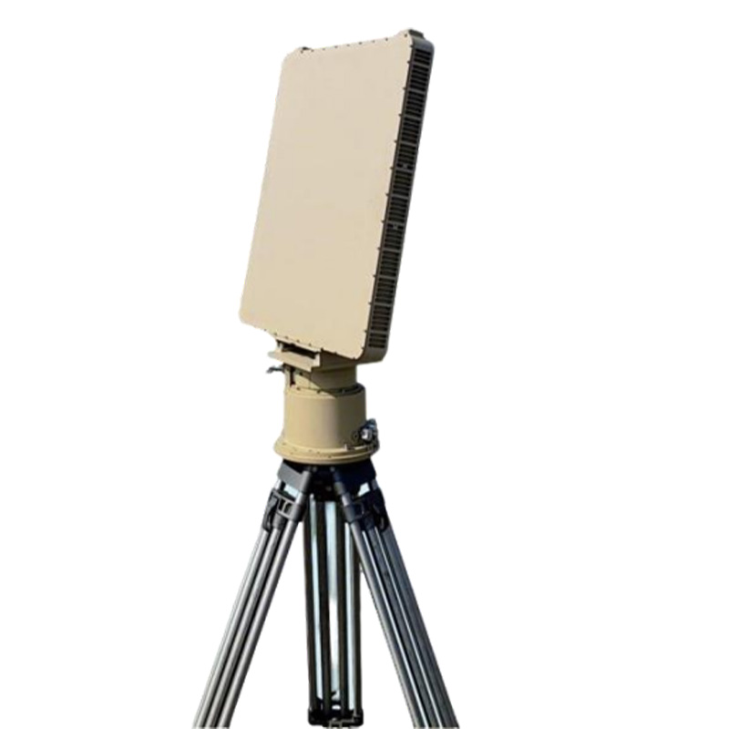
SINGLESIDED ARRAY RADAR GT-R100
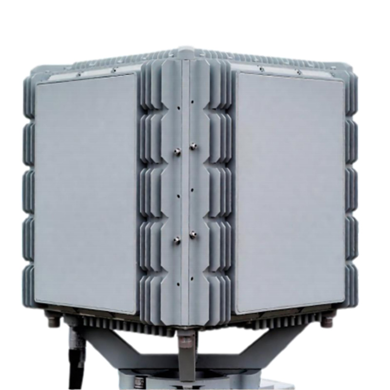
FOUR SIDEDARRAY SECURITY RADAR GT-R200
News & Announcements
Recent Articles
 17th November 2025
 15th October 2025
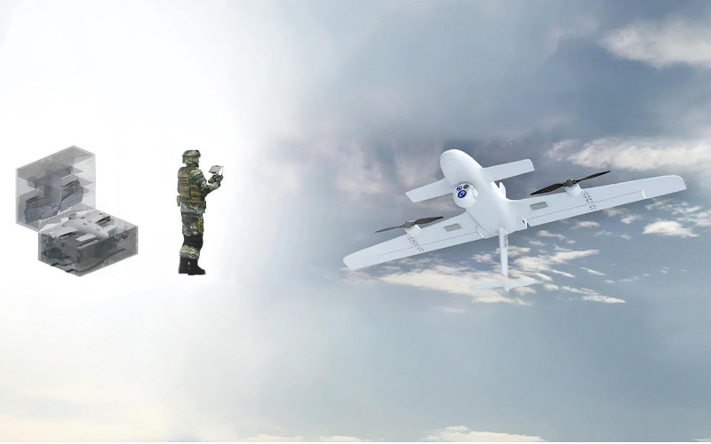 15th October 2025
 15th October 2025