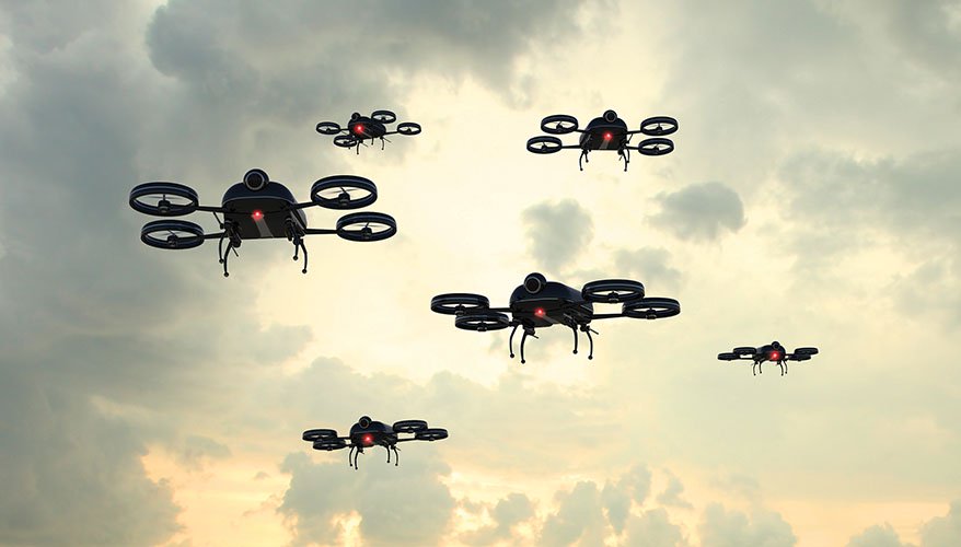

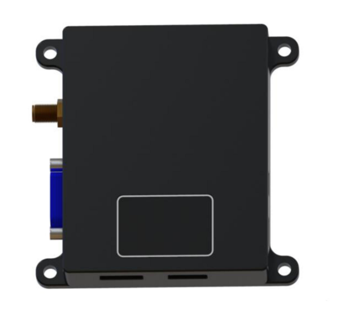

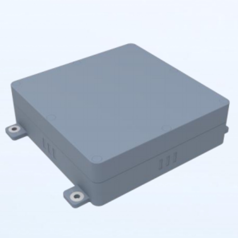
Vision-Inertial Navigation Integrated Module
Reliable in Urban Canyons & Indoors
Resistant to Spoofing & Jamming
Seamless Transition Between Sensors
Long-Endurance Mapping Capability
OPERATIONAL HIGHLIGHTS
| Feature | Skypath Vision-Inertial | Traditional Systems | Improvement |
| Navigation Reliability | 99.9%(Interference-Resilient) | 55%(Signal-Dependent) | 44.90% |
| Position Accuracy | 15m(10-20m or 5% altitude) | 50m | 3.3x Better |
| Attitude Accuracy | 0.5° | 3.0° | 6x Higher Precision |
| Velocity Accuracy | 2m/s | 8m/s | 4x Higher Accuracy |
| GPS-Denied Operation Time | 30 mins(30 minutes) Continuous Guidance | Immediate Failure | Critical Breakthrough |
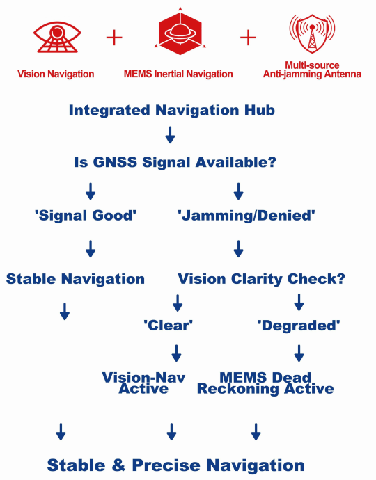
1 – Positioning capability in satellite-denied conditions;
2 – Integrated navigation function: fuses visual positioning data with IMU data to output the vehicle’s attitude, position, and velocity information;
3 – Integrates a high-precision MEMS inertial navigation unit; also supports connection to external high-precision inertial navigation data for integrated navigation;
4 – Integrates a satellite receiver,Which automatically switches between visual positioning and satellite positioning
based on the strength of received satellite signals;
5 – Anti-satellite spoofing capability;
6 – Integrates a barometric altimeter to provide the vehicle’s altitude information;
7 – Integrates a large-capacity memory to store map data for large flight areas;
8 – Supports external magnetometer connection to provide the vehicle’s heading information;
9 – Geofencing capability;
10 – Customizable automatic ground target recognition and positioning function;
11 – Customizable auxiliary aircraft landing function.
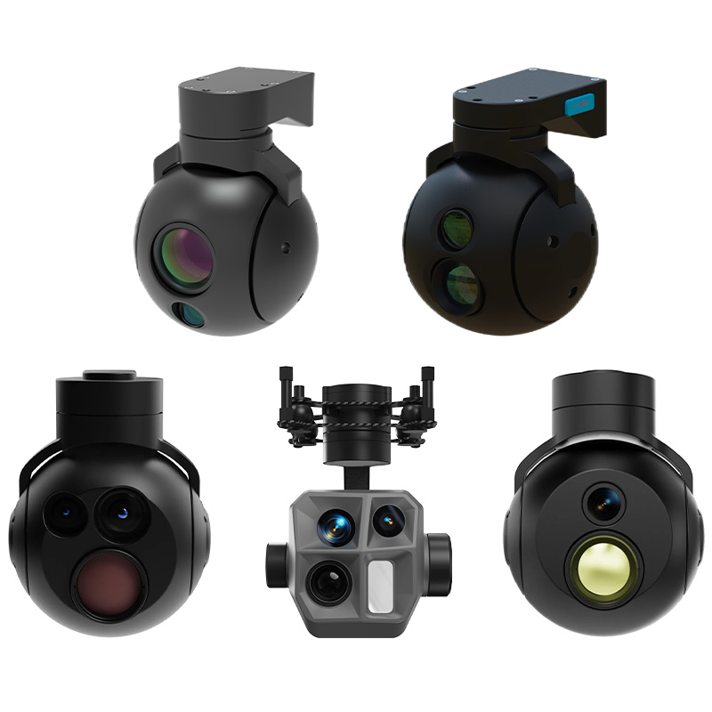
| Parameter | Specification |
| Visible Light Camera | |
| Resolution | 1600×1200 |
| Response Band | 0.4μm–0.9μm |
| Pixel Size | 2.9μm |
| Focal Length | 2.7mm |
| Field of View (FOV) | 66°× 52° |
| Infrared Camera | |
| Working Band | 8μm–14μm |
| Detector Resolution | 640×512 |
| Pixel Size | 12μm |
| Focal Length | 4.7mm |
| Field of View (FOV) | 79°×67° |
| Performance Specifications | |
| Flying Altitude | 80m–3000m (lens replacement required beyond 3000m) |
| Positioning Accuracy | 10m–20m (1σ) at 100m–300m altitude |
| 5% of relative altitude (1σ) at 300m–3000m altitude | |
| Velocity Accuracy | 2m/s |
| Attitude Accuracy | 0.5° |
| Altitude Accuracy | 1m |
| Output Frequency | 1–10Hz |
| On board Storage Capacity | 64G: 22,500 km² |
| 128G: 45,000 km² | |
| 256G: 90,000 km² | |
| On board Sensors | MEMS IMU, barometric altimeter (optional), satellite receiver (optional) |
| Shock Resistance | >500g |
| Power Supply | +12V–+30V, <20W |
| Operating Temperature | –40℃ to +60℃ |
| Communication Interfaces | RS232/RS422/UART, Ethernet |
| Weight (Modules) | Separated integrated navigation module: 130g |
| Integrated navigation module: 150g | |
| Single visible light camera module: 30g | |
| Dual light camera module: 110g | |
Why You Need Unjammable Navigation
“In urban canyons, electromagnetic interference zones, or GPS-denied environments, traditional drone navigation systems fail – causing 78% of commercial drone missions to fail (Drone Industry Insights, 2023).”
Skypath Vision-Inertial Navigation Module delivers 99.9% navigation reliability and ±15m positioning accuracy,turning “potential success” into “guaranteed success.”
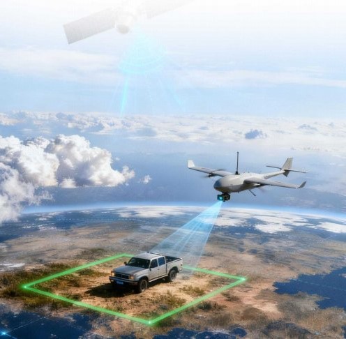
Application Scenarios
UAV Navigation
Urban Mapping
Industrial Inspection
Autonomous Systems
 BrochureDownload

Main Products
Our Main Products
At SkyPath we develop cutting-edge drones for every situation. Please browse our products.
Contact Us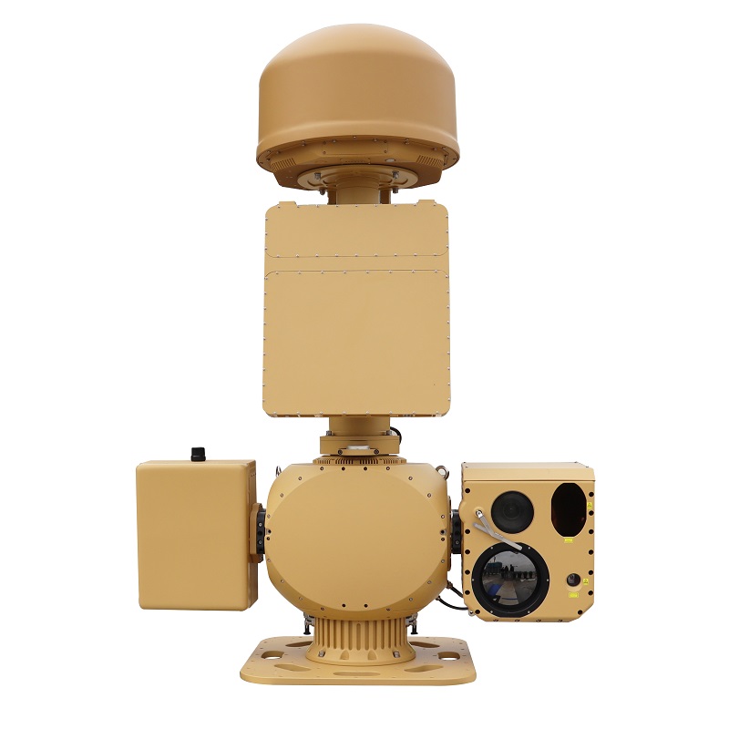
AUS70 Heavy-Duty Integrated C-UAS System
Anti-Drone Jammer Seeker
AD SERIES
Anti-jamming antenna AJ410
Anti-jamming antenna AJ440
Radar Absorbing Agents
News & Announcements
Recent Articles
 13th March 2026
 12th March 2026
 6th March 2026
 5th March 2026
 26th February 2026