How Are Drones Used for Border Security?
 author
 - 11th June 2026
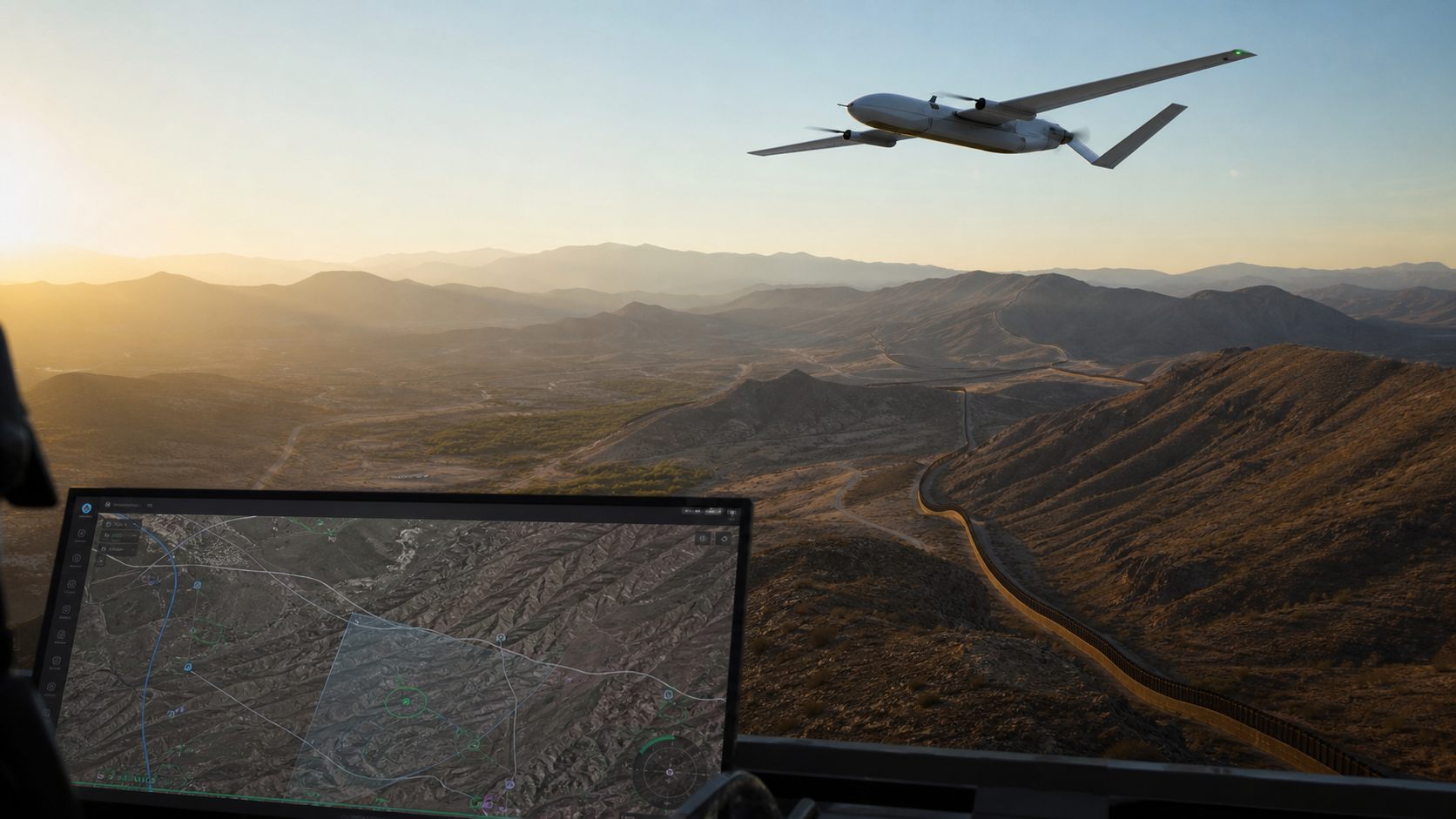
Border security has always depended on distance, timing, and visibility. A patrol team may need to watch long fence lines, mountain passes, river corridors, remote roads, or coastal approaches where fixed cameras and ground vehicles cannot cover every hour of the day. A surveillance UAV gives security teams a wider view without asking people to stand in exposed or hard-to-reach areas.
The value is not that a drone replaces the full border security system. It is that a UAV can fill the space between towers, vehicles, ground sensors, and command posts. When it is planned well, it helps teams see more, document more, and send people only where they are actually needed.
What does a border security UAV actually do?
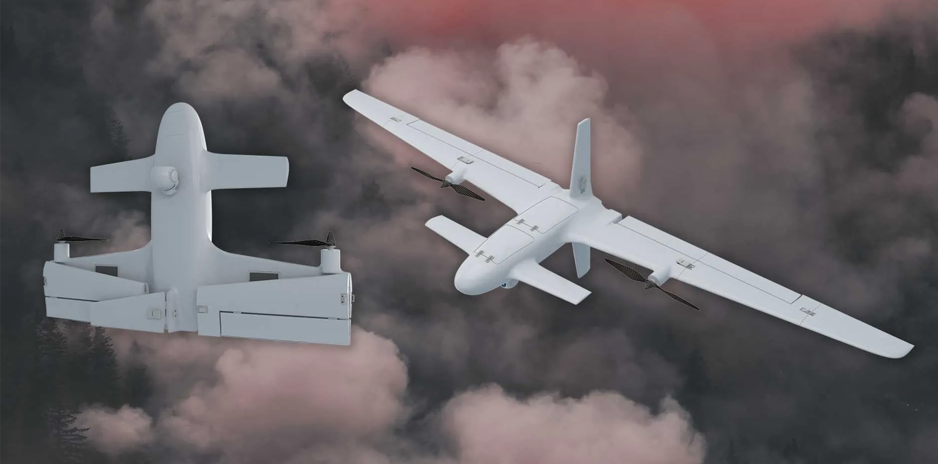
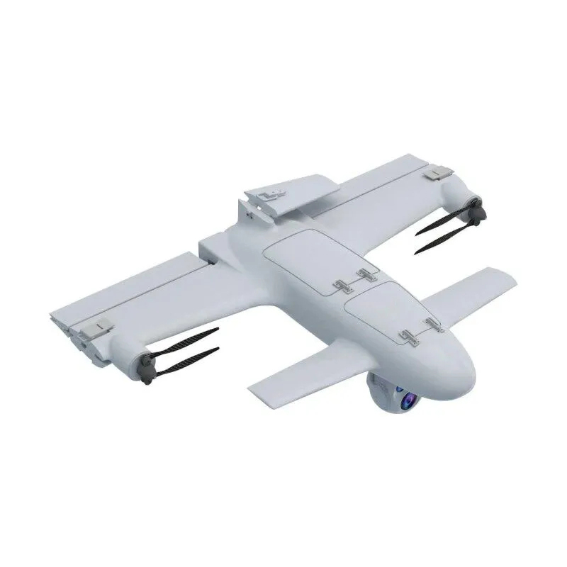
In a border mission, a UAV is mainly an aerial observation platform. It carries cameras, thermal sensors, mapping tools, communication links, or other approved payloads that help operators look at a large area from above. The aircraft may be a multirotor for short tasks, a fixed-wing drone for long routes, or a VTOL fixed-wing UAV when the site needs both runway-free launch and longer endurance.
For buyers comparing platform categories, Skypath’s ISR Strike UAV page is a useful starting point because it shows how VTOL and fixed-wing configurations can support reconnaissance-style missions.
Where are drones used along borders?
Border areas are rarely simple straight lines. They often include open land, hills, forests, rivers, roads, inspection points, and critical infrastructure. UAVs are most useful when the team has a clear operating question instead of a vague desire to fly.
Remote patrol support
A UAV can scan a section before a patrol vehicle enters it. This helps the team check road conditions, weather exposure, damaged fencing, suspicious movement, or blocked access points. In rough terrain, that early look can save time and reduce unnecessary driving.
Wide-area observation
Fixed cameras are strong at watching one known point. A UAV is better at checking the space between points. A fixed-wing or VTOL aircraft can follow a corridor, circle a location for review, or compare current ground conditions with earlier imagery.
Incident review and documentation
After an alarm, a UAV can provide a visual record of the area. That record may help supervisors confirm whether the event was a person, vehicle, animal, weather damage, or a sensor false alarm. The benefit is practical: fewer blind decisions and clearer reporting.
Infrastructure inspection
Border security also includes gates, towers, roads, lighting, communication equipment, fences, and drainage. UAV imagery can help maintenance teams check where repairs are needed before sending crews to the field.
Which UAV features matter most for border security?
The best platform depends on geography and mission length. A small multirotor may be enough for a checkpoint. A long corridor usually needs a different aircraft. The table below turns the choice into practical buying questions.
| Feature | Why it matters | Typical buying question |
| Endurance | Longer flight time reduces launch cycles on long routes. | How many minutes or hours are needed per patrol section? |
| Payload options | EO and thermal sensors support day and low-light observation. | Which camera range and stabilization level are required? |
| VTOL capability | Runway-free launch helps in remote posts or tight sites. | Is there enough flat space for conventional launch and recovery? |
| Communication link | Stable video and control links affect real-time decisions. | What range and link resilience are needed for the area? |
| Portability | Single-team transport matters for mobile patrol units. | Can the aircraft be moved, assembled, and recovered by the assigned team? |
Why do fixed-wing and VTOL drones fit long border routes?
Long routes need coverage more than hovering. Fixed-wing drones are usually more efficient in forward flight, so they can cover wider areas with less battery drain. VTOL fixed-wing systems add another advantage: they can take off and land vertically, then fly like a fixed-wing aircraft once they reach altitude.
Skypath’s Shadow Striker 2400 product page is a useful internal link for this topic because it presents a VTOL reconnaissance UAV designed around endurance, portability, and mission payloads.
This combination is useful where a team cannot build a runway or where launch sites change from one shift to the next. It also helps when the route includes hills, rivers, or rough ground that would make vehicle patrol slow.
How should a team plan UAV coverage?
A UAV program works best when it is tied to specific zones and response rules. The aircraft should not fly randomly. Teams usually get better results by dividing the border area into repeatable sections, then matching each section with flight time, altitude rules, sensor settings, communication range, and reporting format.
- Map fixed cameras, towers, roads, and known blind areas before choosing flight routes.
- Separate routine patrol flights from alarm-response flights.
- Define what operators should record: location, time, imagery, and incident type.
- Plan battery charging, spare parts, weather limits, and maintenance windows.
- Keep flight permissions and local aviation rules visible in the operating plan.
How do drones work with ground systems?
A border UAV is only one part of a layered system. Radar, ground sensors, cameras, lighting, vehicles, command software, and human teams still matter. The UAV adds flexible eyes in the sky. It can check an alert, inspect a route, or provide a second angle when a fixed sensor cannot answer the full question.
The strongest programs connect UAV data to normal reporting instead of leaving it as separate flight footage. If the operator sees damaged fencing, a blocked access road, or unusual movement, that information should move into the same workflow used by the command center and maintenance team.
What limits should buyers remember?
UAVs are useful, but they are not magic. Weather, airspace rules, battery life, communication range, pilot training, and sensor quality all shape the real result. A long-endurance aircraft can still be a poor choice if it is too hard to maintain. A strong camera can still disappoint if the data link is unstable.
Buyers should also be careful with claims that sound too broad. A practical border security drone program starts with the route, environment, team size, and reporting needs. The platform should fit those needs instead of forcing the team to change everything around the aircraft.
How does Skypath fit this use case?
Skypath positions itself as a full-spectrum UAV solutions provider, with product lines covering unmanned aerial vehicles, reconnaissance platforms, anti-interference systems, and related payload technologies. Teams that are comparing aircraft categories can begin from the Skypath products page and then move into the UAV pages that match the route length and payload need.
For border security planning, the most relevant discussion is not only the aircraft body. It is endurance, sensor fit, communication stability, launch method, maintenance support, and how quickly a team can turn imagery into useful field decisions.
Conclusion
Drones are used in border security to extend visibility, support patrol decisions, document incidents, and inspect remote infrastructure. The right UAV does not replace ground teams or fixed systems. It helps them work with better timing and clearer information. For long routes, fixed-wing and VTOL fixed-wing aircraft are often worth reviewing because they can combine coverage, endurance, and flexible launch options.
FAQs
Are drones useful for every border security site?
No. They are most useful where distance, rough terrain, or blind areas make ground-only observation slow or incomplete.
What is the main advantage of a surveillance UAV?
A surveillance UAV gives teams a movable aerial view, which helps with patrol planning, alarm checks, and incident documentation.
Why choose a VTOL fixed-wing UAV for border routes?
VTOL launch helps at remote sites, while fixed-wing flight can cover longer corridors more efficiently than a hover-only platform.
Should the UAV be linked with existing security systems?
Yes. UAV footage and reports are more useful when they connect with ground sensors, command workflows, and maintenance records.

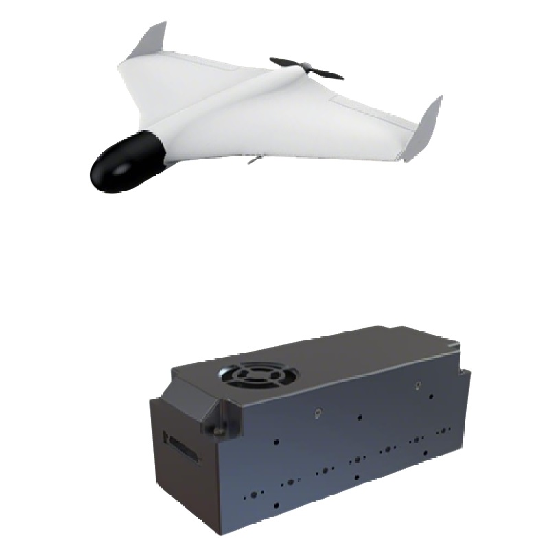
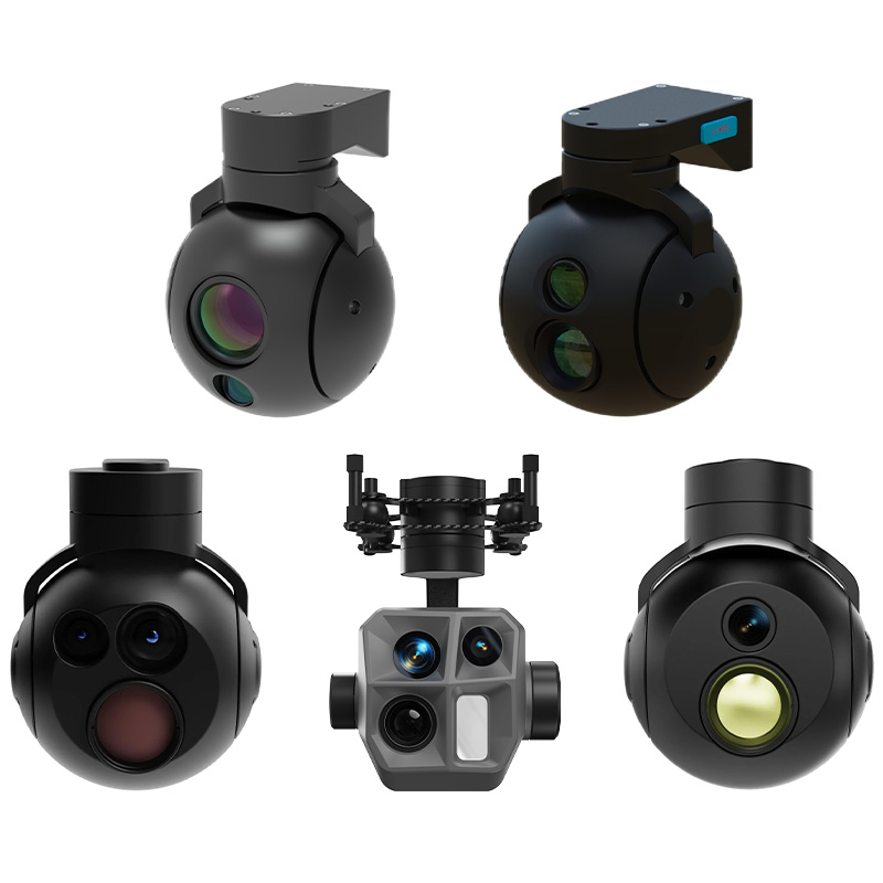
Main Products
Our Main Products
At SkyPath we develop cutting-edge drones for every situation. Please browse our products.
Contact Us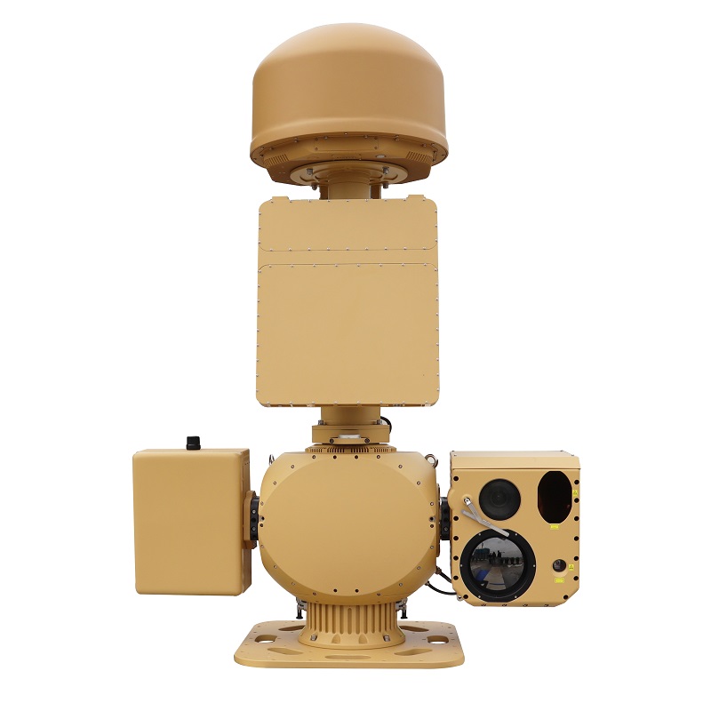
AUS70 Heavy-Duty Integrated C-UAS System
Anti-Drone Jammer Seeker
AD SERIES
Anti-jamming antenna AJ410
Anti-jamming antenna AJ440
Radar Absorbing Agents